Discover the Wonders of the Pacific Coast Highway
We set out after months on the road in a camper van, intent on rediscovering the United States’ awe natural beauty and small-town charm.
What started as a practical plan to stay local became a year of surprise vistas. We found sun-washed beaches, redwood walks, and cliffside wineries that felt like a greatest-hits tour of California.
Our route linked lively cities with quiet coves. We lived the days without rushing, saving time for hikes, coffee breaks, and photo stops. Along the way, the trip showed us why the route is more than a drive—it is a celebration of awe natural beauty.
Below we offer a friendly, first-person guide with a south-to-north flow, tips for timing and offline maps, and the standout moments that shaped our trip. We’ll share what worked, what we’d change, and how to avoid common time traps.
Key Takeaways
- Plan south-to-north to move from sunny cities to misty headlands.
- Reserve time for hikes, coffee stops, and unexpected detours.
- Expect cell-service dead zones—download offline maps ahead.
- Must-dos: whale watching, redwood strolls, and cliffside wineries.
- Use our lived experience as a flexible blueprint for any trip length.
How to Plan Your Pacific Coast Highway Road Trip
A handful of smart choices kept our days flexible and freed us to explore hidden viewpoints.
We recommend traveling late spring through early fall for longer days and fewer closures. Traffic swells on weekends and holidays, so we add buffer time for sudden stops along past scenic coastline bends.
Map and download everything before you go. advance cell service vanishes in stretches around Big Sur, so we downloaded road and trail GPX files for McWay Falls, Ewoldsen, and Limekiln. We also carry printed directions as a backup.
When we mix camping hiking ’re with hotel nights, we map must-see stops first and then connect them with realistic drive times. That workflow helps when we plan groceries, water, and fuel ahead of long, remote legs so non-beach related outdoor hikes stay stress-free.
Timing and daily rhythm
- Set sunrise and sunset goals for signature overlooks, then slot related outdoor activities around those hours.
- Pick one or two stretch goals per day and keep the rest flexible.
- Reserve marquee tours and coastal rooms 2–6 weeks ahead during peak months.
“Download maps before you leave — reception can disappear where you least expect it.”
| When to Go | Why | Practical Tip |
|---|---|---|
| Late spring–early fall | Longer days, clearer skies | Book stays 2–6 weeks out |
| Weekdays vs Weekends | Less traffic midweek | Plan big stops on weekdays |
| Remote stretches | advance cell service is limited | Download maps & GPX, pack printed backup |
Pacific coast highway: What to Expect From South to North
We watched the mood change mile by mile, from lively beach piers to vine-lined country roads and rugged cliffs.
Expect contrasts: Southern sections buzz with boardwalk energy and nightlife. Move north and you find secluded coves, rolling vineyards, and dramatic headlands near Big Sur.
We plan shorter drive windows where the road threads along cliffs so we can enjoy past scenic coastline pullouts safely and often.
To keep days relaxed, we pair one destination town with one standout hike or beach session. That rhythm stops the trip from becoming a blur.
Practical rhythm and tips
- Lodging changes by region: beach motels in SoCal, boutique inns mid-route, and city hotels near the Bay Area.
- Fog or wind? We make easy quick swaps—flip a hike to the afternoon and grab a café while it burns off.
- Traffic tightens near cities; rural stretches trade speed for scenery—embrace a slower pace.
- Keep cash and cards handy for tolls, timed drives, and park parking where readers fail.
- Anchor days around can’t-miss moments like El Matador at sunset or McWay Falls in the morning.
“Spontaneous stops at farm stands or sea lion lookouts often became our favorite memories.”
Safety note: check park status and advisories for wildfires or landslides that can reroute parts of the drive.
Starting Strong in San Diego: Beaches, Gaslamp, and Coronado
San Diego opened our route with a mix of lively streets, calm beaches, and quick outdoor escapes.
We kick off in the Gaslamp Quarter because you’ll want visit for lively patios, easy dining, and nightlife before heading to the shore.
Gaslamp, Coronado, and Orange Avenue basics
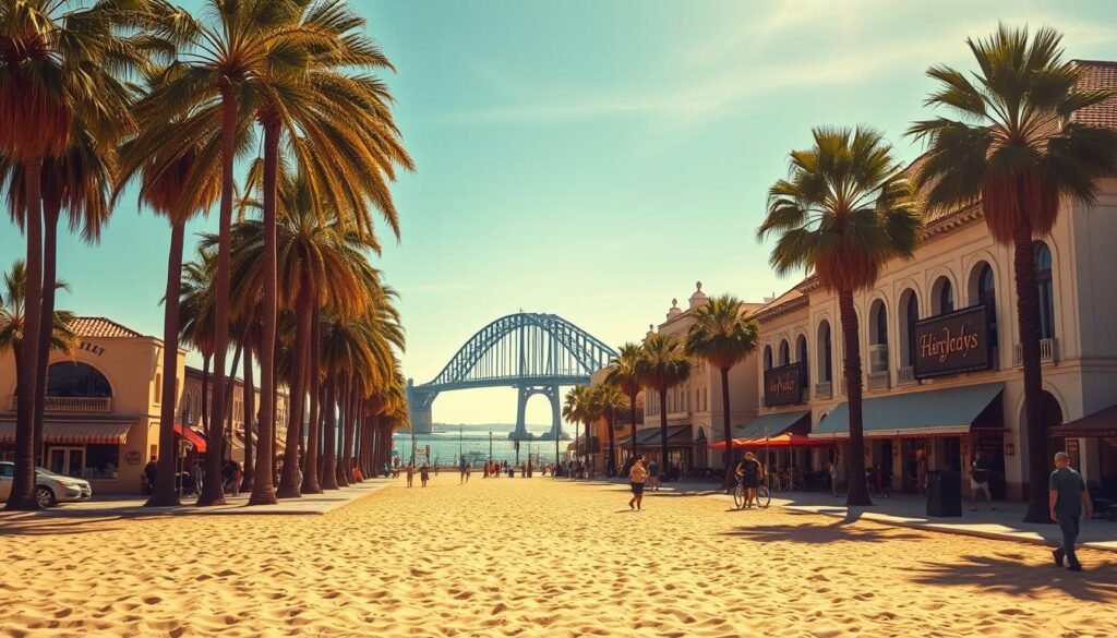
We cross the Coronado Bridge for soft sand and a strollable main strip. Coronado also several bars, eateries, and boutiques that keep us lingering on Orange Avenue.
Plan to park early at Coronado to beat the mid-day crush and loop back for brunch or a late-afternoon walk. Coronado also several options for casual meals and coffee near the beach.
Non-beach related outdoor and short hikes
We add non-beach related outdoor time at Torrey Pines. The cliffside trails offer ocean views and calm air away from the city.
For a quick, photogenic stop we trail recommend annie at Annie’s Canyon. The slot-like path is short and memorable.
- We trail recommend annie again if you want a fast scenic walk before lunch.
- Encinitas and Moonlight Beach are our switch when city beaches feel crowded.
- Note the region’s proximity to border seedy tijuana — its nearby presence shapes the food and culture here.
“We wrapped the day with sunset from Sunset Cliffs and a slow evening on Orange Avenue.”
We mention border seedy tijuana once more as a geographic note. If time allows, a day trip to Joshua Tree adds a desert contrast three hours inland.
Quick Coastal Stops: Dana Point Whales and Laguna’s Pirate Tower
We carved out a few short windows for coffee, whale watching, and a postcard-perfect tower.
Dana Point coffee-and-whale-watching window
We time a Dana Point stop for late-morning coffee and a quick harbor stroll. This town is known as the whale-watching capital of the West, so we scan the horizon while we sip.
We add a flexible 60–90 minutes so it makes easy quick to snack, scan the water, and keep heading north. Expect that you may actually see small pods farther up the route rather than here.
Victoria Beach’s hidden staircase and the Pirate Tower photo opp
We detour into Laguna Beach for lunch, then hunt the neighborhood path to the hidden staircase. That walk opens onto sand and the storybook Pirate Tower.
- Park along Highway 1 and weave through the blocks to reach the stairs.
- Low tide reveals better access and cleaner angles for a classic stop get photo.
- Bring reef-safe sunscreen and water shoes; slick rocks make the climb tricky.
“Popular angles are busy—photo opp forewarned: come early or try a wider view.”
| Spot | Time to Budget | Quick Tip |
|---|---|---|
| Dana Point Harbor | 60–90 minutes | Late-morning coffee + horizon scan |
| Laguna Forest Ave | 30–60 minutes | Galleries, gelato, lunch |
| Victoria Beach / Pirate Tower | 30–45 minutes | Street parking; tide check for better shots |
Where to Stay in LA’s Beach Cities: Manhattan Beach, Santa Monica, or Venice
Choosing where to sleep in LA’s beach cities shaped how our days felt—relaxed or full-throttle.
We split nights between quieter Manhattan Beach and the lively santa monica venice stretch so we could taste both sides. Manhattan Beach is a polished, mature town about 30 minutes south. It feels like a beach outlier minutes from the main urban energy and gives us calm evenings on a walkable pier.
Third Street Promenade, Santa Monica Pier, and Venice Skate Park vibes
In santa monica venice the city pulse runs high. We stroll third street promenade for open-air shopping and street performers. Then we hit the Santa Monica Pier at sunset for carnival lights and ocean air.
At Venice, people-watch at the Venice Skate Park and visit original Muscle Beach. The monica venice beach areas are big sandy stretches with bike paths and beaches large ton of activities. Plan mornings at the Santa Monica Stairs and smoothies along Palisades Park.
Choosing atmosphere: quieter Manhattan Beach vs. lively Santa Monica & Venice
We split stays: Manhattan Beach for polished quiet and santa monica venice when we want late-night music and street art. The beach outlier minutes south gives a slower pace without sacrificing quality dining.
- Tip: ’ll want visit landmarks early or late to dodge crowds and catch better light.
- Tip: Book lodging with on-site parking and use bikes or rideshares to hop between spots.
Malibu Highlights: Cliffside Beaches, Canyon Wine, and Iconic Hikes
Mornings in Malibu began on broad beaches and ended with a slow tasting under oak shade in a wine canyon vineyard.
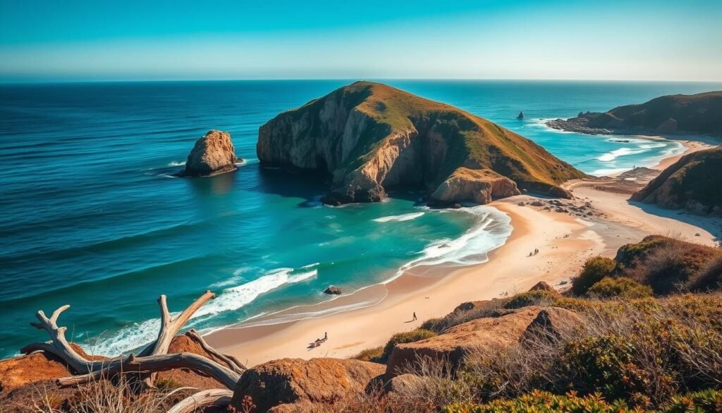
We start at Zuma for wide, family-friendly sands. Then we wander the Point Dume rock outcrops and hunt the arches at El Matador for dramatic photos and tidepooling.
Zuma, Point Dume rock, and El Matador
At Point Dume rock the formations rise like small islands close to shore. El Matador’s sea caves shine at low tide. Park early—spaces fill fast—and plan to return at sunset for silhouettes.
Malibu Wines: canyon tasting and a safari twist
We booked Malibu Wines for a classic wine canyon vineyard afternoon. The oak shade made a perfect backdrop for a celebrity afternoon enjoying flights and picnic snacks.
For a playful add-on we considered the also safari adventure. Vintage vehicles drive through ranchland where giraffes and zebras trot near vineyard rows.
Trail picks and creekside scenes
We laced up for Malibu Creek State Park, where landscapes from multiple hollywood productions still feel cinematic. The park has creek-side swimming holes and wide views.
Solstice Canyon is our quick waterfall walk. Escondido Falls wakes with winter rains and rewards a short hike.
“We paced a non-beach related outdoor hike in the morning, then rewarded ourselves with a golden-hour beach session.”
- Tip: carry water, grippy shoes, and a light layer for cooler canyon shade.
- Balance related outdoor activities so no single stop steals the day.
- Snack stop options: Malibu Country Mart or Trancas Market to keep energy up between trails and tastings.
Santa Barbara Slowdown: State Street, Funk Zone, and Coastal Walks
We slowed our pace in Santa Barbara to trade driving hours for long walks and late lunches.
We park near the top of State Street and wander down to the Wharf, popping into galleries and cafés as we go. Then we weave into the Funk Zone for tasting rooms, breweries, and a few refined bites that stretch the afternoon.
Beach time centers on several cliffside beaches nearby. More Mesa offers quiet cliff-top walks. Leadbetter and the downtown-accessible West and East beaches make easy quick stops for a towel or a short swim.
Upscale stretches like Miramar and Butterfly attract a posher crowd, while other sands stay relaxed and walkable. We split time among the beaches so each day feels unhurried.
For a warm-water treat we hike Hot Springs Canyon Trail and test a series of pools. It feels like a state park incredible tucked into the hills, with temperatures from about 120–95°F.
We detour north for a meal at the gem cold spring Tavern—rustic BBQ, wild game, and a saloon mood that feels timeless. Then we linger for a sunset walk as the Channel Islands glow.
Tip: designate a driver when tasting; rideshares are easy in town.
Pismo Beach Pit Stop: Coffee, Cinnamon Rolls, and Pier Views
A short Pismo stop gave us cinnamon rolls, sea air, and the kind of reset we needed.
We rolled into Pismo for a sugar-and-caffeine refuel at Old West Cinnamon Rolls. The shop is casual and unpretentious, and the pastry hit the spot.
We stroll the pier for salty air and quick photos. The come-as-you-are vibe makes pismo beach everyone feel welcome.
When parking is tight, we snag a bench and let the view do the work. Watching surfers and pelicans while we sip keeps the stop lively but low-effort.
We keep the car close for a fast turnaround on tight days. This is an easy add that does not derail the schedule.
- Grab a cinnamon roll and a to-go cup from a local coffee shop and chat with friendly staff.
- Check tide times if you want a quick barefoot stroll under the pier.
- Consider a seasonal detour to the monarch butterfly grove for a short nature pause.
“We used Pismo as a palate-pleasing intermission before heading into wine country.”
| Stop | Time to Budget | Quick Tip |
|---|---|---|
| Old West Cinnamon Rolls | 20–30 minutes | Order early to avoid the line |
| Pismo Pier | 15–25 minutes | Best light mid-morning or late afternoon |
| Local coffee shop | 10–15 minutes | Take a to-go cup and meet a barista |
We leave room in the day for nearby wine country, using Pismo as a simple, satisfying pause. The town’s easy charm reminds us why pismo beach everyone returns year after year.
Before we hop back on the road, we check the tide and seatbelts, savor the last bite, and head north with a small coastal memory tucked into the day. For quick stops, pismo beach everyone fits into almost any schedule.
San Luis Obispo Base: Wine Country Access and Small-Town Ease
We settled into San Luis Obispo as a calm base between beaches and vineyards. The town feels walkable, with leafy streets, boutiques, and farm-to-table menus packed into a compact downtown.
Use SLO as a true stop surrounding that lets you pop out for short day trips without repacking. A quick luis obispo drive loop takes us to Pismo for pier views and cinnamon rolls.
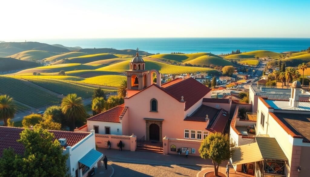
Another easy luis obispo drive heads to Morro Bay for a classic sunset shot of the Rock. We pencil an afternoon of wine tasting in nearby valleys, then return for dinner on a patio-lit side street.
We treat San Luis Obispo as a true stop surrounding beaches and vineyards. In season, we stroll the Thursday night farmers’ market for produce, barbecue, and local music.
Dining, shopping, and day trips
We rent bikes or walk the creek path to sample coffee shops between boutique stops. Lodgings with parking and quick highway access make those out-and-back runs simple.
Reserve tasting rooms on weekends and leave a flexible window for tastings. We cap the night with a sweet treat from a local creamery and plan a leisurely brunch the morning we depart—one last relaxed hurrah.
“San Luis Obispo worked best for us as a compact home base for nearby beaches and vineyards.”
Morro Bay Moment: Makes an Easy Quick Photo of the Rock
A short detour to Morro Bay gave us clean angles and a calm harbor breeze before the next stretch.
Morro Bay sits about 15 minutes from San Luis Obispo, so we treat it as a fast visual pit stop. We swing through for a harbor walk and a clear angle on Morro Rock—a quick, satisfying stop get photo before the next leg.
We linger long enough to watch boats glide by and sea otters bob in kelp near the Embarcadero. If the weather cooperates and we’ve able see reflections, the base of the Rock can frame a lovely shot.
Lunch timing helps: a chowder cup or fish taco is perfect if lines are short. We check parking near the waterfront, stroll the boardwalk, snap a few wide frames, then pivot north to stay on schedule.
Tip: sunrise or sunset adds drama, but be strict—Morro Bay shines as a quick visual treat, not a full-day detour.
| Item | What to Expect | Quick Tip |
|---|---|---|
| Drive time from SLO | ≈15 minutes | Use SLO as base, pop over mid-day or sunset |
| Harbor walk | 5–20 minutes | Watch for otters; boardwalk parking nearby |
| Food | Chowder, tacos, quick bites | Shoulder hours shorten lines |
“We snapped a few wide frames, then pivoted north to keep the day flowing.”
San Simeon Surprises: Hearst Castle, Elephant Seals, and Wild Zebras
Our San Simeon stop mixed grand architecture, rambling wildlife, and surprise roadside scenes that felt oddly cinematic.
We book a tour of Hearst Castle to walk the terraces and imagine the life of William Randolph Hearst. The mansion’s rooms feel like a museum of one larger-than-life publisher. Tours give context to its art, pools, and the old private zoo that once lived on the estate.
William Randolph Hearst’s legacy and the zebras
After his death, some animals went to city state owned zoos, while others were released. The result is the near-mythic presence of about 126 wild zebras grazing in fields nearby.
We scanned the roadside for herds. Seeing another goofy surreal moment of zebras against rolling hills felt like a film still.
Elephant Seal Vista Point and Estero Bluffs
We pull into Elephant Seal Vista Point to watch hundreds of massive seals—another goofy surreal spectacle of barking, sunbathing animals. Bring binoculars and keep distance for safety.
Then we stroll at Estero Bluffs State Park, where sea cliffs meet grassy viewpoints and a tasting at the nearby Hearst Winery closes the afternoon.
- Book the castle tour early to secure a spot.
- Scan fields slowly for the 126 wild zebras—they appear when you least expect it.
- Plan a roadside pause to stop get photo safely and avoid dunes.
- Remember some animals were transferred to city state owned institutions; the mix of wild and managed life shaped the region.
“This stretch felt playful and strange, a blend of history, wildlife, and open shoreline that stayed with us.”
Big Sur How-To: Vista Points, Hikes, and Limited Cell Service
Big Sur demands a slower tempo and a checklist that plans for long gaps between services. We planned fuel, food, and restroom stops before the stretch because distances stretch and amenities thin quickly along the pacific coast highway here.
Download trail maps in advance — McWay Falls, Ewoldsen (4.5 miles), and Pfeiffer Falls (≈2 miles) are popular and often sit beyond reliable reception. We saved GPX files the night before and carried printed notes as a backup.
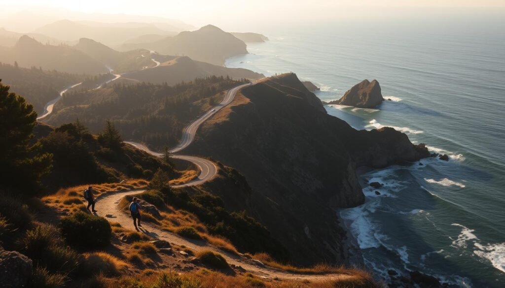
We scheduled marquee stops: McWay Falls at golden hour, Ewoldsen’s canyon loop, and Pfeiffer Falls for a shorter woodland fix. To balance roadside vistas with satisfying walks, we added Ragged Point, Salmon Creek (6.5 miles), Pacific Valley Bluff, Partington Cove (1 mile), and Limekiln Trails (3 miles).
Pack layers, headlamps, and a snack kit; coastal fog cools fast and trails often feel more remote than their mileage suggests. We time pullouts to avoid tight shoulder parking and accept that we’ve able see only a slice in one pass — Big Sur rewards unhurried returns.
“Download offline maps and carry paper backups — reception drops near favorite trailheads.”
- Leave no trace: stay on signed paths and respect storm or landslide closures.
- Secure campsites well in advance if camping hiking ’re staying overnight; first-come sites fill early.
- Pfeiffer Big Sur and Limekiln together form a state park incredible duo of redwoods, creeks, and coastal arches.
Santa Cruz Vibes: Surfing, River Beaches, and Henry Cowell Redwoods
Between point breaks and ferned trails, Santa Cruz served a perfect blend of ocean energy and forest hush.
Lighthouse Point surf watching
We post up at Lighthouse Point for a front-row seat to the best surfing ’ve seen on our trip. Waves run parallel to the jagged shoreline, and dudes dudettes shred clean, long sets along the point break.
We grin at the lineup lingo—shred the gnar—least think say aloud as sets peel down the cliffs. Then we wander the promenade for sea spray and a café espresso.
Henry Cowell Redwoods State Park and the Sandhills
Inland we walk beneath henry cowell redwoods, where cathedral-like trunks shade soft trails. The Santa Cruz Sandhills appear on the map as odd dunes that once sat at sea level; fossils like shark teeth have turned up here.
We picnic under giants at cowell redwoods state and put the phone away after a few shots many people have seen many instagram share.
Spring/summer river beaches and Wilder Ranch
During spring summer months the river beaches fill with hikers in bathing suits. We spread a towel, cool off, and then tack on Wilder Ranch for bluff-top trails and tidepools when the ocean calls again.
| Spot | Time to Budget | Quick Tip |
|---|---|---|
| Lighthouse Point | 30–60 minutes | Arrive early for parking; best surfing ’ve watches at mid-tide |
| Henry Cowell Redwoods | 1–3 hours | Bring picnic fixings; the Sandhills are a short side hike |
| Wilder Ranch | 1–2 hours | Combine bluff trails with tidepool stops in low tide |
“We left Santa Cruz smiling — equal parts surf stoke and forest hush.”
Photo Opps Northbound: Davenport Swing and Coastal Clifftops
Arriving at dawn made the cliffs feel like ours for a few quiet minutes. We time our visit early or late since the Davenport Swing has become an Instagram-famous stop and can draw long lines.
We tell friends the photo opp forewarned rule: don’t fixate on the rope seat. Clifftop vistas both north and south deliver sweeping horizons without the wait.
When the swing is crowded, we frame a different angle. Even if we’ve able see the classic shot elsewhere, dramatic waves and textured cliffs make strong photos on their own.
- Wear sturdy shoes—sloped dirt paths can slick after fog or drizzle.
- Keep distance from edges and respect closure signs; erosion changes footing fast.
- Pack a windbreaker and hat—gusts whip across this headland stretch.
- Time for low tide if you want to explore adjacent beaches after the viewpoint.
| What | Best Time | Why |
|---|---|---|
| Davenport Swing | Dawn or dusk | Fewer people, softer light |
| Nearby clifftops | Any clear hour | Sweeping horizons, no queue |
| Beach access | Low tide | Safer exploring and better angles |
“We compare nearby pullouts along past scenic coastline to chase the best light rather than fixating on a single rope seat.”
Finally, we often bring a picnic and linger. If wind picks up, we head south toward Santa Cruz or north into Davenport proper for coffee and a warm break.
Carmel-by-the-Sea and Monterey: 17-Mile Drive and Folktale Winery
We slowed our pace around Carmel-by-the-Sea, giving time to boutique browsing and a scenic loop that rewards small pauses.
The 17-Mile Drive (about $10.50 per car) winds past dramatic fairways, luxury estates, and cypress silhouettes. We plan a leisurely circuit, pausing for rugged coves and wide views of past scenic coastline.
Scenic viewpoints and practical tips
We keep small bills or a card ready for the gate and pick a few overlooks to enjoy rather than trying to stop at every turnout. Our mantra: quality over quantity. A photo opp forewarned us to choose spots that match the light and our pace.
Folktale Winery: a stop super unique just inland
About ten minutes inland, Folktale Winery feels like a storybook escape. The gardens, approachable flights, and architecture made it a stop super unique on our route.
- Browse Carmel’s boutiques and grab pastries before the beach.
- Swing inland for a tasting—designate a driver or rideshare for safety.
- Time a sunset return along Ocean Avenue for soft light and calm.
“We treated this duo as a refined interlude on a world trip decided route that still left room for spontaneity.”
San Francisco Finish: Bridges, Culture, and a Napa Day Trip
Our final stretch led us across a famous span, then into neighborhoods where small details kept surprising us. We paced three relaxed days to cover landmarks, food stops, and a quick wine detour without rushing.
Golden Gate, Park, Wharf, and Alcatraz
We greet the city at a Golden Gate Bridge viewpoint, then roam Golden Gate Park’s museums and meadows—a state park incredible right inside the city.
Booking Alcatraz tickets ahead secured a morning departure and clearer views before the wind picks up. At Fisherman’s Wharf we sampled chowder and watched the sea lions; we actually see small groups of them every time we pass.
Neighborhoods, Picnics, and a Napa Day
We savor ramen and mochi in Japantown, stroll the Palace of Fine Arts at dusk, and picnic at Mission Dolores Park with cheese, fruit, and skyline views.
For a leisurely day out we pencil in Napa tastings and return for dinner in North Beach or the Mission. We ride Muni or grab a rideshare to simplify parking and keep the days flexible.
“After a week on the road our world trip decided its last chapter in city streets and vineyard rows.”
Practical tip: bring a wind layer—microclimates can flip from warm to foggy fast—and notice how you actually see small details differently after a long drive.
Conclusion
Our last morning on the road made clear how small-town pauses and city stretches balanced into one rich story.
We reflected on a journey that stitched together santa monica venice buzz, san luis obispo ease, and San Francisco skyline moments into a single narrative. Monica venice beach mornings paired well with winery afternoons and quiet coves farther north.
Plan to return and dive deeper into redwoods state park groves. We still dream about the hush beneath the giants at cowell redwoods state and the calm of henry cowell redwoods trails.
Start early, download offline maps, and build in time to linger. Tailor this blueprint to a long weekend or a multi-week trip, and leave room for those spontaneous detours that become your favorite memories.


0 Comments